Map Your Adventure Map Prints
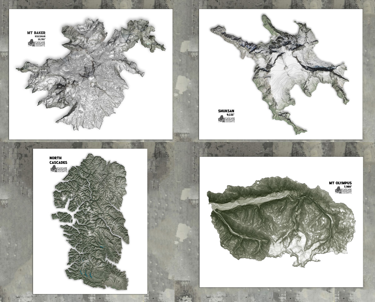
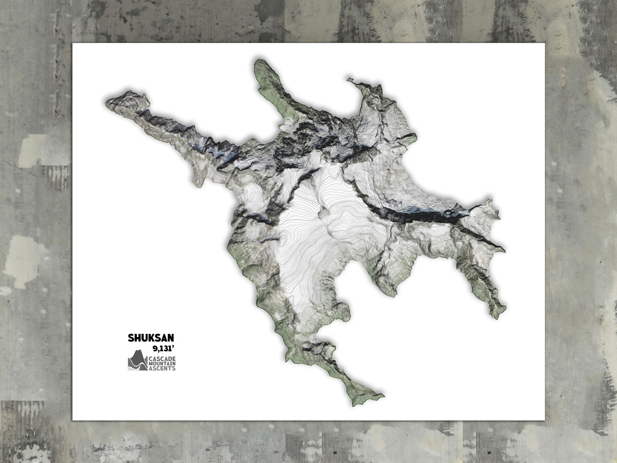
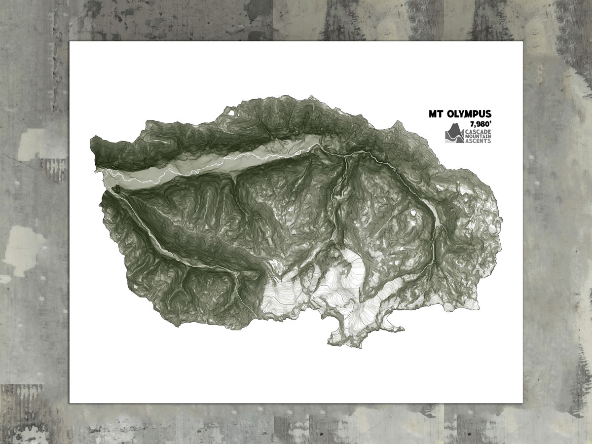
Topographic map prints with a unique shading of elevation and slope to highlight natural features. Printed on museum grade, heavyweight, textured cotton paper that is thick, elegant & warm to last as long as your memories! Paper is made from 100% reclaimed cotton fibers. Packaged in a cellophane sleeve with a backing board.
These prints are made by Ian Peterson of Map Your Adventure. Custom prints with tracks and route info available upon request.
Price range: $28.00 through $209.00
Additional information
Mt. Olympus, Shuksan, Mt. Baker, The North Cascades |
|
| Size | 8 x 10, 11 x 14, 16 x 20 |
| Framing Option | Print Only, Framed Print |
Mt. Olympus: the tallest mountain in the Olympic range. Were it not for the erosion caused by the immense amount of rain (up to 16 ft/year) Mt. Olympus would be the tallest mountain on earth. Contours every 100 ft with major contours every 1000 ft. The base shading is determined by elevation and slope. This map begins at 640ft.
Shuksan: the most iconic non-volcanic mountain in the PNW and the only non-volcanic peak with 3,000+ feet above timberline. Shuksan is also the most prominent PNW peak to exclusively go by it’s indigenous name (called Shuqsan by the Nooksack people). Contours every 40ft with major contours every 400ft. The base shading is determined by slope. This map begins at an elevation of 4850ft. It is cropped at the pass between Seapho and Icy peak.
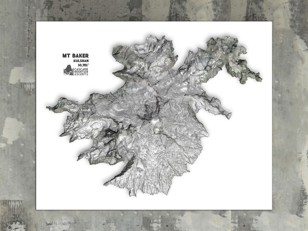
Mt Baker: the northernmost volcano in Washington and one of the snowiest places on earth. The nearby Mount Baker Ski Area has the record for highest snowfall in a season (1,140 inches in 1999). Contours every 20ft with major contours every 200ft. The base shading is determined by elevation and slope. This map begins at an elevation of 7000 ft.
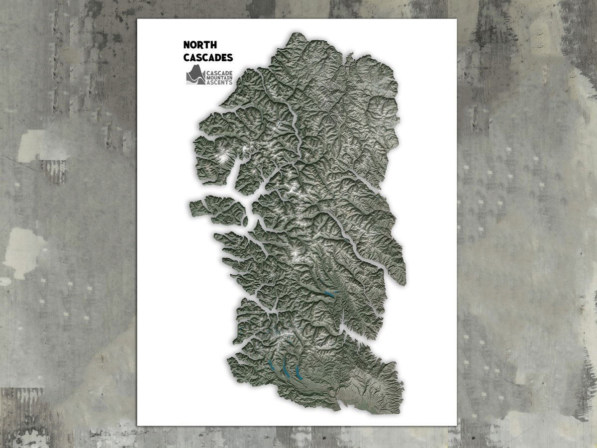
The North Cascades: Knotted, rugged, wild mountains. Thick rainforests coat the valley floors beneath jagged alpine peaks draped in glacial ice. Jaw dropping views abound, for those who put in the work to see them.
